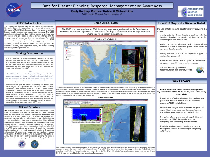
NASA’s ASDC is piloting the use of Geographic Information System (GIS) technologies that can be leveraged for crisis planning, emergency response, and disaster management awareness. With access to the data holdings of the ASDC the growing GIS community can gain a better understanding of natural disasters and to plan coordinated responses to emergencies. Many different organizations currently use GIS tools and geospatial data during disaster events. Previously, the ASDC datasets had not been fully utilized by this community due to incompatible data formats in which the ASDC data holdings are archived. Through the successful implementation of this pilot, advanced efforts, and continued collaboration with emergency management communities - including the Department of Homeland Security and Department of Defense - ASDC data will be more easily accessible granting the ability to plan, respond, manage, and provide awareness during disasters.
 | Name: Emily Northup Organization(s): NASA OSSI Email: [email protected] |
| Name: Matthew Tisdale Organization(s): Booz Allen Hamilton Email: [email protected] |
| Name: Mike Little Organization(s): Atmospheric Science Data Center ,NASA Langley Research Center Email: [email protected] |