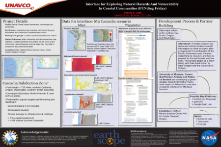
Coastal communities and their visitors are potentially exposed to many natural hazards including earthquakes, tsunamis, and landslides. Along the coast of the Pacific Northwest, a massive earthquake of 9.0 Mw could occur at anytime causing severe earth shaking, subsidence over a meter, horizontal crustal movement up to four meters, liquefaction, and subsequent devastating tsunami. Although residents and visitors might be aware that these natural geophysical hazards exist, they often aren’t familiar with the potential level of impact, vulnerabilities of different areas where they live, work, and/or play, or steps they can take to prepare. Pre-disaster planning, such as maintaining situational awareness, locating tsunami evacuation routes, building a ‘go’ bag for every member of their family, identifying an out-of-region contact person, and creating a food and water stash could mean the difference between immediate survival to long term recovery.
Designed for museum and public venues, an interactive mash-up map, in progress, will provide residents and visitors an interface to explore hazard and vulnerability data available for the coastal Pacific Northwest environment. While these maps are individually available, for example tsunami inundation zones maps or shake potential maps, this information is rarely available in a single location or map. Based on the overlay of the hazard information, exhibit visitors will learn more about pre-disaster planning to enhance their emergency preparedness. This poster presents the current status of the development of this interface.


