Droning the Castle Hill Rock Formation and Building 3D Models with Photoscan & Drone2Map
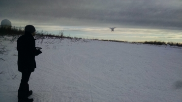
Submitted by Sean_Barberie on Sun, 2016-07-10 09:34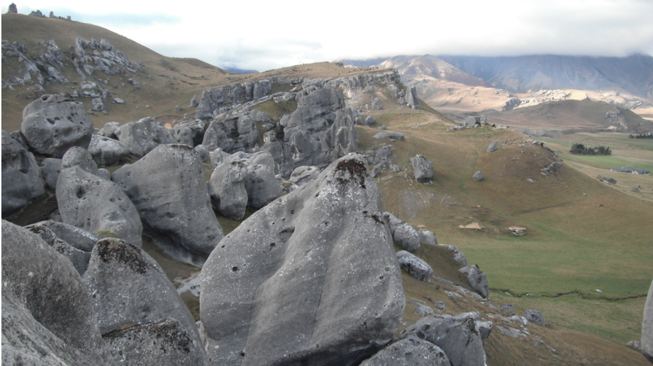 This blog entry is part 2 of a short series on my recent research trip to New Zealand. Here I show the data collection and construction of a Structure-from-Motion 3D model of the Castle Hill rock formation. I use both Agisoft Photoscan and ESRI ArcGIS Drone2Map for the data processing. Come back soon for a post on placing seismometers on Tasman Glacier and collecting drone imagery of the terminus, and a post on science of opportunity and building models of glacial lake icebergs.