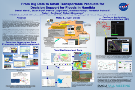
During the past four years, a team from NASA, Oklahoma University, University of Maryland and University of Chicago in collaboration with the Namibia Hydrological Services (NHS) has explored ways to provide decision support products for floods. The products include a variety of data including a hydrological model, ground measurements such as river gauges, and earth remote sensing data. This poster or presentation highlights the lessons learned in acquiring, storing, managing big data on the cloud and turning it into relevant products for GEOSS users.
Technology that has been explored includes the use of Hadoop/MapReduce and Accumulo to process and manage the large data sets. OpenStreetMap was explored for use in cataloging water boundaries and enabling collaborative mapping of the base water mask and floods. A Flood Dashboard was created to customize displays of various data products. Finally, a higher level Geo-Social Application Processing Interface (API) was developed so that users can discover, generate products dynamically their specific needs/societal benefit areas and then share them with their Community of Practice over social networks. Results of this experiment have included 100x reduction in size of some flood products, making it possible to distribute these products to mobile platforms and/or bandwidth-limited users.


Comments
In future now making the