Event:
Abstract:
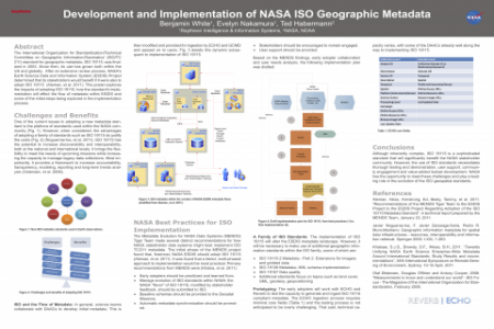
The International Organization for Standardization/Technical Committee on Geographic Information/Geomatics' (ISO/TC211) standard for geographic metadata, ISO 19115, was finalized in 2003. Since then, its use has grown both within the US and globally. After an extensive review process, NASA's Earth Science Data and Information System (ESDIS) Project determined that its stakeholders would benefit if it were also to adopt ISO 19115 (Aleman, et al. 2011). This poster explores the impacts of adopting ISO 19115, how the standard's implementation will effect the flow of metadata within ESDIS and some of the initial steps being explored in the implementation process. Submitted by: Benjamin White, Raytheon, [email protected]
Attachments for download:


