Oleg Aulov, Milton Halem, David Lary
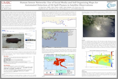
Water Horizon oil spill in the Gulf of Mexico in April 2010--can save lives, prevent property damage and help minimize environmental impact. During oil spill disasters, trained satellite analysts at NOAA/NESDIS process satellite observations and manually integrate data from numerous sources to produce a polygonal map that identifies the locations of possible detected oil on the surface of the ocean. These polygon maps are assimilated into an operational Lagrangian trajectory model driven by wind and ocean current data to forecast the movement of the oil. We demonstrate an automated algorithm to detect and map surface oil distrbutions from satellite observations. We employ a Self Organizing Map (SOM) machine learning algorithm. A SOM algorithm is a type of an unsupervised neural network that produces a low-dimensional representation of a higher dimensional input space while preserving its topological properties. This low order representation is called a map. Once the map is created we use social media data from human sensor networks together with other ground observations to determine which cluster represents the oil plume.
We demonstrate an automated approach to analyzing satellite imagery for oil plume detection. We use an unsupervised machine learning algorithm called Self Organizing Maps (SOM). An SOM algorithm is a type of an unsupervised neural network that produces a low-dimensional representation of a higher dimentional input space while preserving its topological properties. This representation is called a map. Once the map is created we use social media data from human sensor networks together with other ground observations to determine which cluster represents the oil plume. Submitted by: Oleg Aulov, University of Maryland Baltimore County, aulov.oleg@gmail.com


