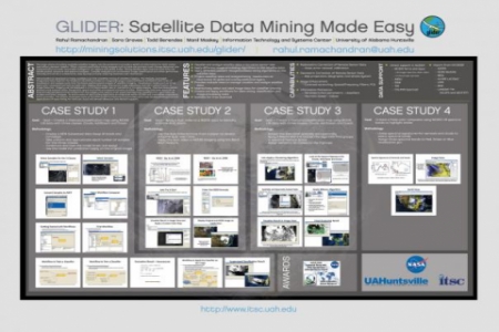
Satellite imagery can be mined to extract thematic information, which has increasingly been used as a source of information for making policy decisions. The uses of the ‘mined’ information can vary from military applications such as detecting assets of interest to science applications such as characterizing land-use/land cover change at local, regional and global scales. Mining and extracting thematic information using satellite imagery is a non-trivial task that requires a user to perform complex sequence of steps. UAHuntsville has developed GLIDER, a freely available tool that simplifies mining of satellite imagery. GLIDER provides a suite of image processing algorithms for imagery enhancement along with pattern recognition and data mining algorithms for both parametric and non-parametric information extraction. This poster will showcase some of GLIDER’s many features using four case studies. The first case study will focus on the use of false color composites to highlight and distinguish features of interest within satellite imagery such as smoke. The ability to apply any mathematical formulae on different spectral bands and visualize the result will be covered in the second use case. The third use case will employ unsupervised classification algorithms to segment the image into meaningful classes. The final use case will focus on supervised classification covering sample selection, creating workflows for training, testing and the final application to create a thematic map.


