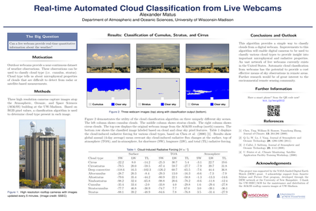
In the past decade, webcams have become increasingly popular for environmental monitoring. Due to low manufacturing costs and flexibility, outdoor webcam images are currently freely available online for most locations in the United States. The wide availability of webcam images provides a valuable, low-cost resource for weather observations. This study aims to extract real-time quantitative meteorological data from digital imagery. All images are obtained from the rooftop cameras atop the Atmospheric, Oceanic, and Space Sciences (AO&SS) building at the University of Wisconsin-Madison in Madison, WI. First, a feature mask is applied to filter out the land surface below the skyline. An RGB color histogram is generated based on only full-sky pixels. An algorithm is applied to filter out clear sky pixels and classify cloud in the image. Finally, a cloud type classification is performed based on the spectral signature of the RGB color histogram, in which the classification is validated based on satellite measurements. The entire process is completely automated through computer programming. The process of sky classification is a fast, inexpensive, and robust form of weather observation. This technique can be applied to all webcam images to perform a quick classification of sky conditions. Submitted by: Alexander Matus, Digital Earth Watch, amatus@wisc.edu


