Event:
Abstract:
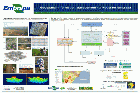
Geospatial information management is a crucial component of the scientific process in the context of the Earth System Sciences, which bring together data arising from heterogeneous sources and techniques, such as ground measurements, and remotely sensed data. We propose a strategy for geospatial data management to facilitate access to agricultural research information, considering uncertainties involved with data products and data quality assurance, according to the Access to Information Act. Our approach is based on open source tools tailored to geospatial data management, such as GeoNetwork and GeoServer, applied to information documentation, discovery, visualization, integration and analysis.
Collaboration Area:
Attachments for download:
Creative Common License:
Creative Commons Attribution 3.0 License


