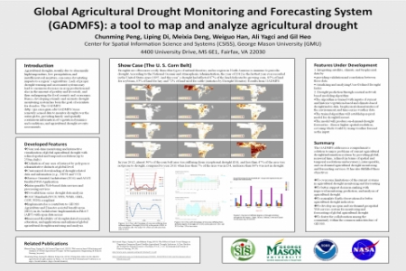
Global Agricultural Drought Monitoring and Forecasting System (GADMFS) developed by the Center for Spatial Information Science and Systems (CSISS), at George Mason University, is a Web-based GIS system that provides global NDVI, VCI and Drought datasets derived using tile-based MODIS datasets and implements Web Map Service (WMS) and Web Coverage Service (WCS) to support visualization and acquisition of the global data. The system currently provides datasets spanning from 2000 to 2013 and is a contributing component of Global Earth Observation System of Systems (GEOSS) societal benefit areas of agriculture and disaster in its Architecture Implementation Pilot 5 (AIP5). The advantages of GADMFS compared to other drought systems, are (1) compliant with open standards, (2) interoperable with GEOSS, (3) refined spatial and resolution, and global coverage at near real-time, (4) providing drought information dissemination including maps, data custimzation and download, and drought information analysis, (5) 14 years of historic drought data analysis, and (6) offering integrated and on-demand services (to analyze and estimate drought severities). The processing and analyzing services of GADMFS are developed in a Service Oriented Architecture (SOA), using AJAX web applications and BPEL workflow technology. Aiming to overcome the limitations of the current systems in agricultural drought monitoring and forecasting, the GADMFS supports better decision-making with improved monitoring, prediction, and analysis of agricultural drought.


Comments
Note