
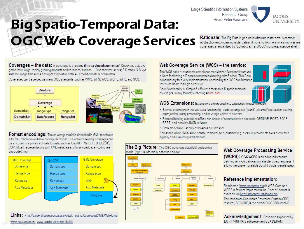
As the first standard of its kind, OGC Web Coverage Serice (WCS) 2.0 fully enables spatio-temporal data access, based on a uniform handling of space, time, and other axes (such as pressure as a proxy for height). The WCS suite defines interface modules ranging from simple access and subsetting over reprojection, rescaling etc. up to a declarative raster query language. Based on the unified GML coverage model, WCS is harmonized with a variety of other OGC specifications, including GML, WFS, SWE, and WPS.
The WCS Core Reference Implementation is the rasdaman analytics engine, a NewSQL database system supporting declarative, SQL-style queries on massive multi-dimensional array data. Server-side optimizations and parallelization across clouds, clusters, and data centers makes rasdaman a highly scalable distributed server.
 | Name: Peter Baumann |