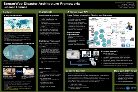
Disasters may be a global and big-data problem and there may be some interest in global monitoring. But rather than developing a centralized architecture, our approach is to leverage regional capacities and focus on local support. A global view can then be assembled virtually and easily anywhere as necessary. Regional nodes must be empowered to develop the local expertise necessary to help us improve science products from crowd sourcing. In return, the societal benefits can be measured. This requires the integration of proven tools, protocols and data formats such as OpenStreetMap, tiles and vectors that can be openly manipulated on mobile platforms.
If citizen scientists are to be our users and involved in the process, we must develop a higher level and simpler API that promotes story telling, information sharing and discovery within existing social networks. That API needs to be open, geo- and social rather than geo-spatial. Goal-oriented user requests need to be honored on the server side by providing behaviors that can be easily followed by mobile or disadvantaged users. This simply requires some simple semantic and scripting that can evolve over time.


