Event:
Abstract:
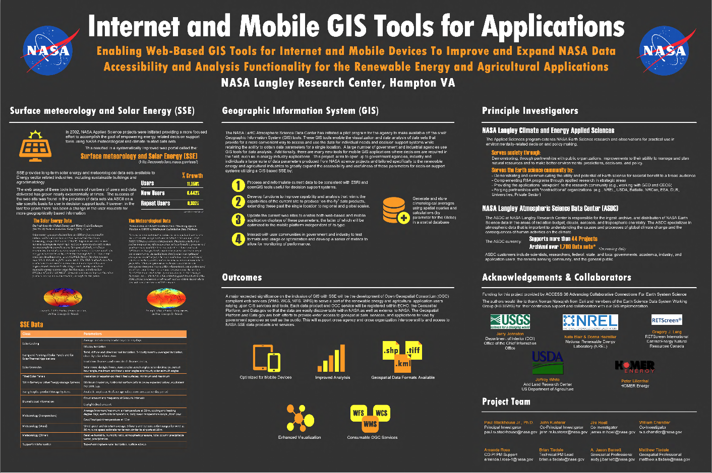
NASA Langley Climate and Energy Applied Sciences and the Atmospheric Science Data Center have initiated a pilot project that utilizes Geographic Information System (GIS) tools. These GIS tools enable the visualization and data analysis of the Surface meteorology and Solar Energy (SSE) data sets to provide more efficient data discovery, accessibility and use of data parameters by government and industrial agencies.
Images:
Author(s):
 | Name: Amanda Ross Organization(s): Booz Allen Hamilton Email: amanda.l.ross-1@nasa.gov |
| Name: Paul Stackhouse Organization(s): NASA Langley Research Center |
| Name: John Kusterer Organization(s): Atmospheric Science Data Center ,NASA Langley Research Center Email: john.m.kusterer@nasa.gov |
| Name: Jim Hoell Organization(s): NASA Langley Research Center |
| Name: William Chandler Organization(s): NASA Langley Research Center |
| Name: Brian Tisdale Organization(s): Booz Allen Hamilton Email: brian.e.tisdale@nasa.gov |
| Name: Matthew Tisdale Organization(s): Booz Allen Hamilton Email: matthew.s.tisdale@nasa.gov |
| Name: Jason Barnell Organization(s): Booz Allen Hamilton |