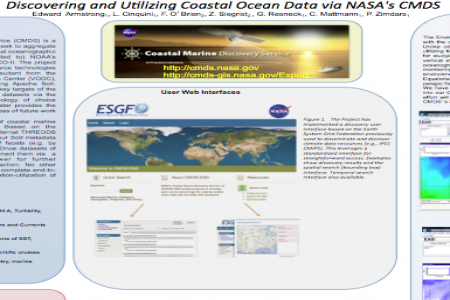
The NASA Coastal Marine Discovery Service (CMDS) is a NASA ACCESS Project wherein which we seek to aggregate and make easily available a number of critical oceanographic data repositories including (but not limited to) NOAA's ERDDAP, NOAA's IOOS, and NASA's ECCO-II. The project is leveraging heavily on existing open source technologies and platforms including the software resultant from the ACCESS 2007 Virtual Oceanographic Data Center (VODC), as well as several other systems including Apache Solr, OPeNDAP and Apache OODT. One of the key targets of the CMDS project is to easily expose coastal datasets via the EASy GIS toolkit, a mature GIS technology of choice amongst many coastal scientists. This poster provides the current status of CMDS and suggest key areas of future work and activities.
CMDS makes discovery and utilizations of coastal marine resources as transparent as possible. Based on the harvesting of descriptive metadata from external THREDDS and OPeNDAP catalogs a user can query our Solr metadata index (a database) through a number of facets (e.g. by parameter, standard name, data center). Once datasets of interest are discovered the system will connect them via a seamless step to the EASy Netviewer for further visualization, data interrogation and extraction. No other system currently has the capabilities of the complete end-to-end of specific dataset discovery-visualization-utilization of CMDS.


