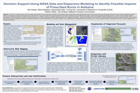
A team of air quality modelers and information technologists from the University of Alabama in Huntsville (UAH), working with staff of the Alabama Forestry Commission (AFC), are developing a decision support system to identify potentially harmful and dangerous conditions resulting from prescribed burns. Using information from permits submitted to the AFC by landowners and certified burn managers, UAH scientists additionally incorporate the use of near real-time NASA satellite observations to produce dispersion models of the planned burns in an effort to determine possible negative impacts on air quality and visibility. This poster discusses the use of multiple satellite derived aerosol products and land products such as albedo and leaf area index in applications related to atmospheric dispersion, nutrient deposition and air quality modeling. These applications are developed for near-real time use in a decision support related to emergency and environmental management in the State of Alabama.


