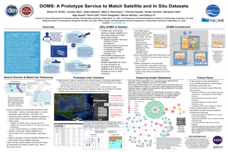
The Distributed Oceanographic Match-Up Service (DOMS) is a collaborative effort between COAPS, NCAR, and NASA JPL. This poster will outline ongoing development of DOMS, including both the API and web-based user interface (UI). Capabilities of the DOMS prototype will be described and, if feasible, DOMS will be demonstrated by the lead author in conjunction with the poster. DOMS has been designed to reconcile satellite and in situ datasets in support of NASA’s Earth Science mission. The service provides a mechanism for users to input a series of geospatial references for satellite observations and receive the in situ observations that are matched to the satellite data within a selectable temporal and spatial domain. DOMS presently supports data matching for sea surface temperature, sea surface salinity, and marine winds using satellite data from the MUR Level 4, SMAP Level 2, and ASCAT Level 2 products, respectively. In situ observations are provided from the SPURS salinity field experiments, ICOADS, and SAMOS. DOMS is designed to provide a community-accessible tool that dynamically delivers matched data and allows the scientist to only work with the subset of data where the matches exist. The project has been funded by NASA’s AIST and is nearing a technology readiness level (TRL) of 4. Plans for future development to bring the service to an infusion-ready TRL of 6 will be described.


